Introduction
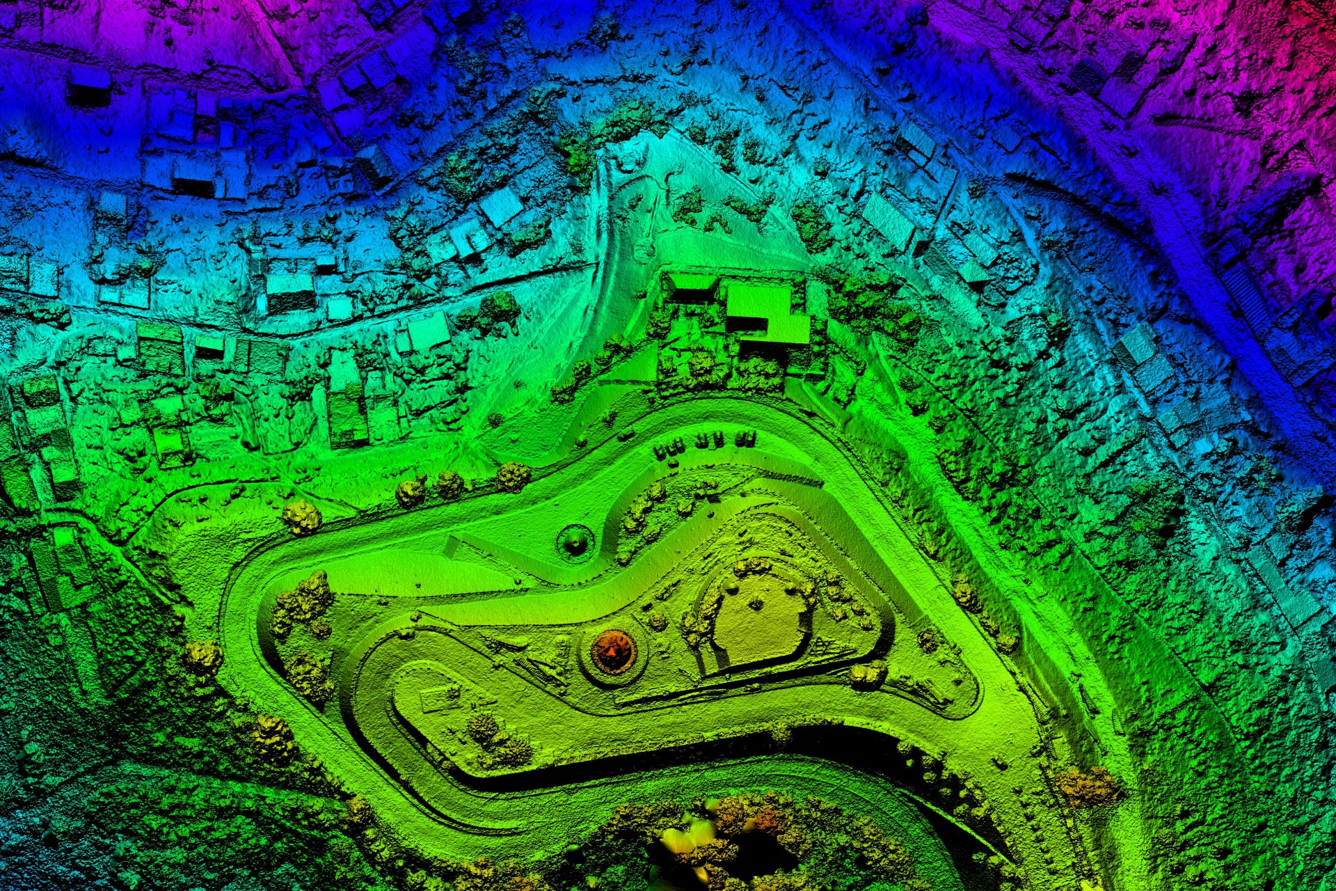
Land mapping with high-resolution aerial cameras give you surprisingly deep insights about the construction location which can then be used for strategic planning of constructing roads, bridges, tolls and more.
Drones activate high-end analysis to save time on manual analysis and focus on crucial aspects of the project for excellent project outputs. The best part of aerial mapping lies in cutting down time, manpower and expenses.

The Boosting Advantages
- Time-efficient Survey Technique
- Cost-effective and High-end Survey
- Easy Access of Far and Unreachable Areas
- Easy Procurement of Error-free Data
- Finest Accuracy (GSD up to 3 cm)
- 10x Faster Data Acquisition
- Expert GIS team

Deliverables
- DTM, DSM, Orthomosaic Imagery
- 3D Point Cloud Data
- Watershed Analysis
- Contour Maps

Our Land Mapping expertise enables you to make the right decision using the precise Topographic Maps, 3D Models and Volumetric Calculations
