Introduction
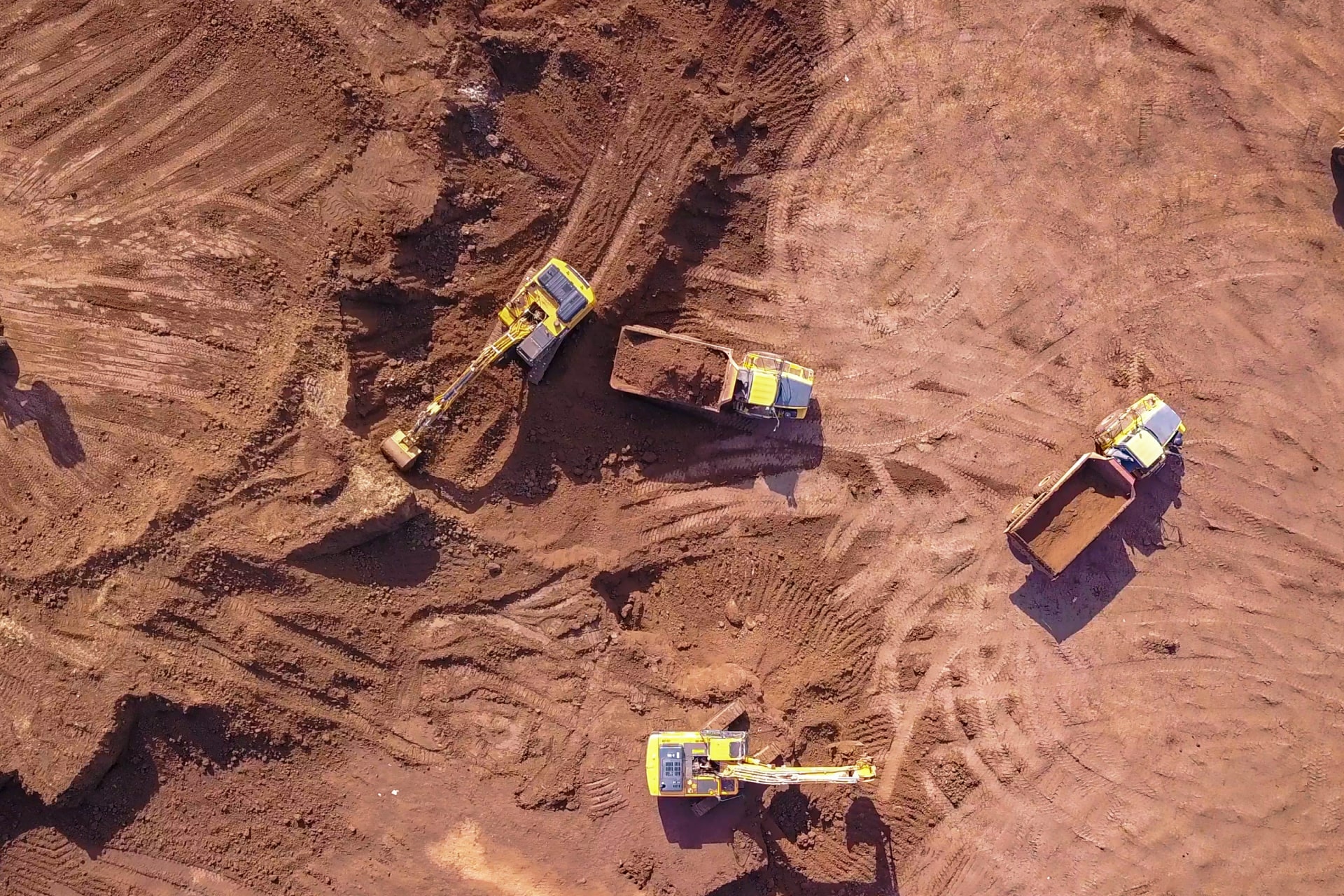
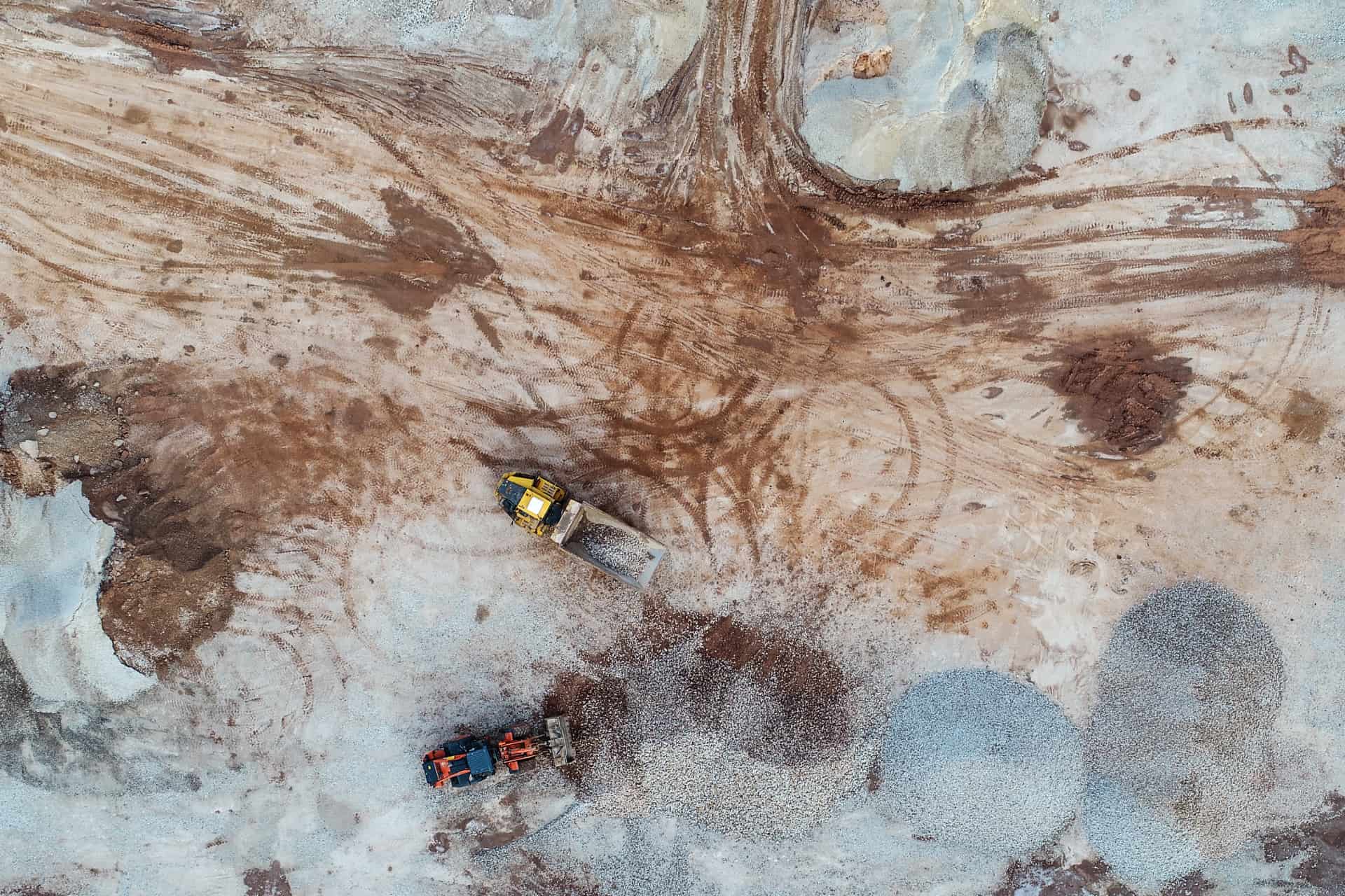
UAV used for mining can collect timely, geo-referenced imagery that is instantly translated into a precise 3D copy of your site to calculate volumes, perform site surveys and much more.

The Boosting Advantages
- Periodical Imagery and Reports
- Survey of Mining Activities
- Monitoring of Utilities and mining
- High Resolution imagery
- Efficient Volumetric calculations
- 30 Times Faster Data Capture System
- Frequent and Precise Reports on Mine Sites
- Reducing Downtimes and Savings on Cost

Deliverables
- DTM/ DSM
- Orthomosaic Maps
- Contour Maps
- DEM
- Watershed Analysis

We provide Comprehensive Site Monitoring for analysis of topography changes, Base Mapping, Geotechnical Inspection, and more with Automated Drones
