Introduction
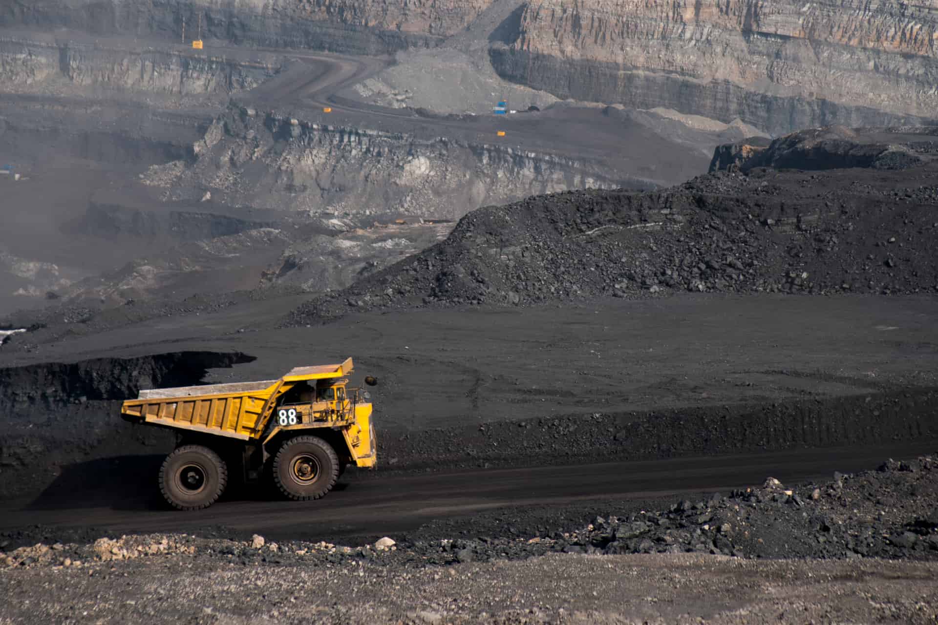
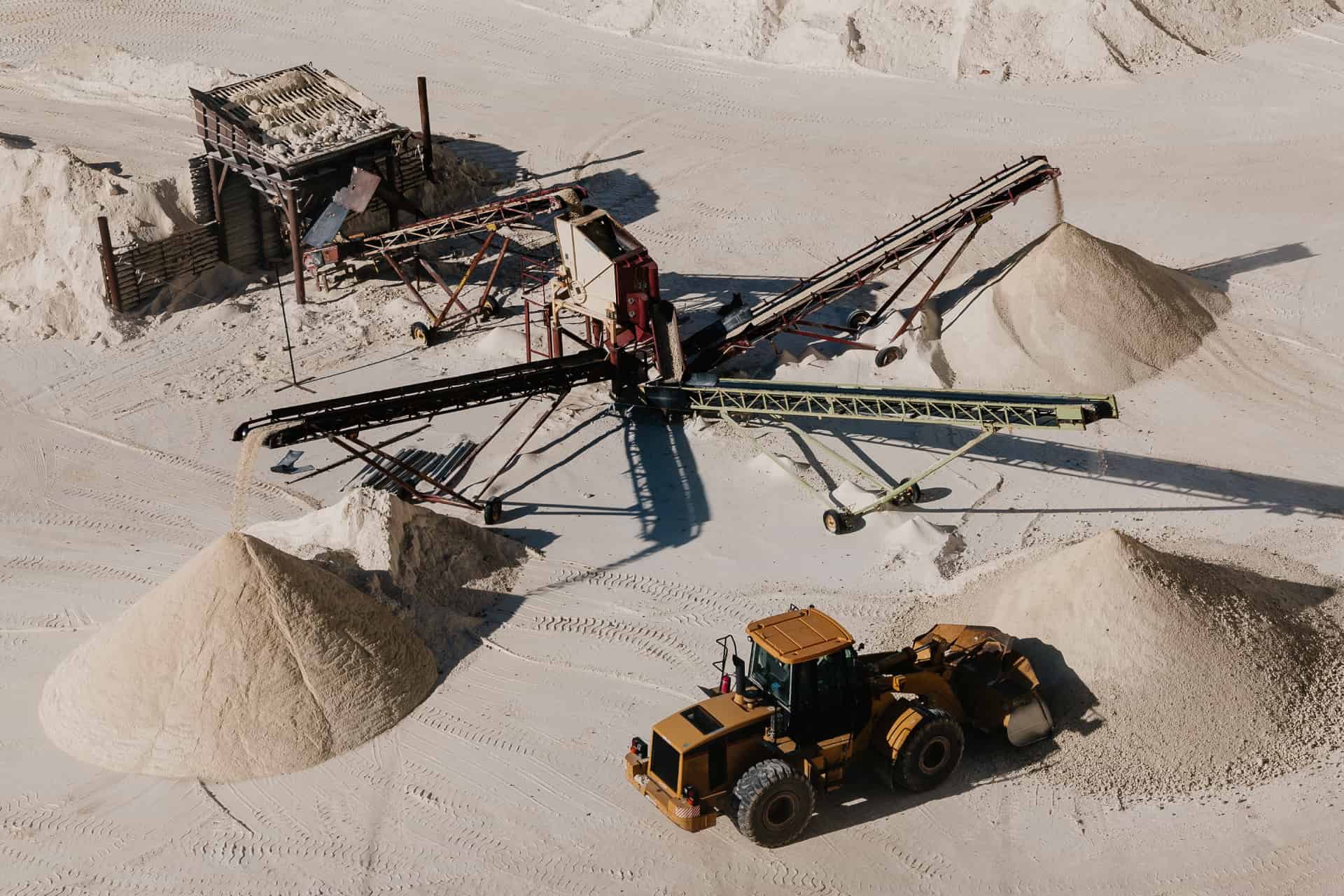
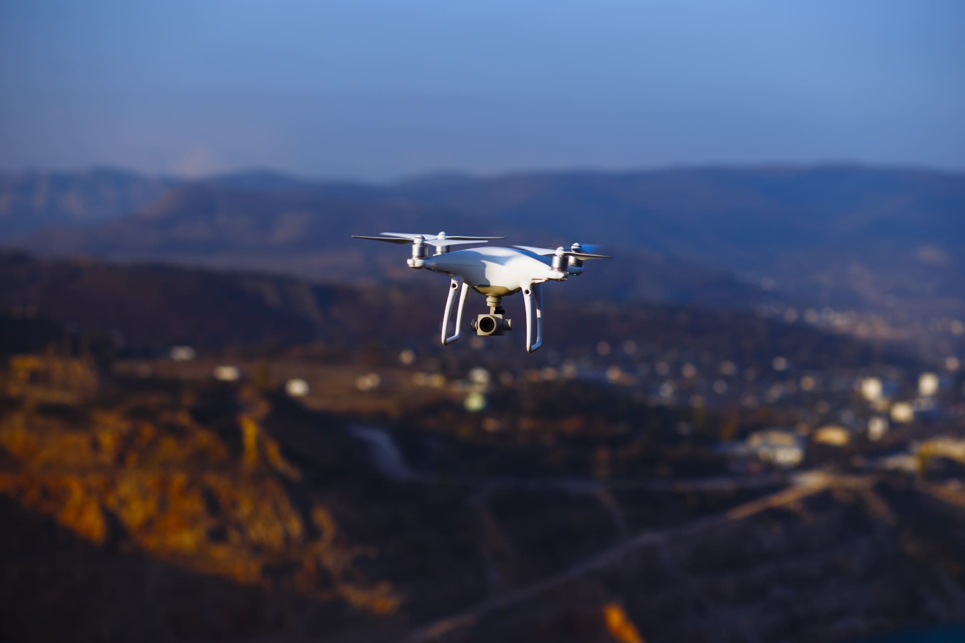
Drones substantially reduce time consumption and expenses for mining. The data collected by drones yield quality orthophotos and DSM maps that support mining exploration and geological planning. This eliminates the challenges of outcropping mineral reefs and navigation on foot.

The Boosting Advantages
- Complete Elimination of Human Risk
- Intelligent Inspection of Deep Underground Shafts

Deliverables
- DTM/ DSM
- Orthomosaic Maps
- Contour Maps
- DEM
- Watershed Analysis

Vyomik's Drones yield high-resolution orthophotos and DSM maps for mining exploration, geological planning to access the areas that can’t be reached through foot
