Introduction
UAVs are designed to accumulate accurate data to plan sector specific sowing and interpret departmental coordination. The dimensional analysis of variations, growth, land use pattern, soil health, diversification of crops presents a clear insight into yield estimation.
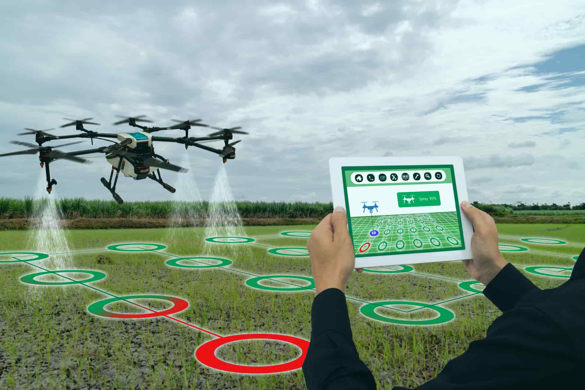
Drones are proactively used in high altitudes to span the extensive distances in the shortest possible time on farms or hilly terrains. The major use of UAVs lies in covering and estimating large segments of lands even in the most unreachable lands.

The Boosting Advantages
- Analysis of crop field before use
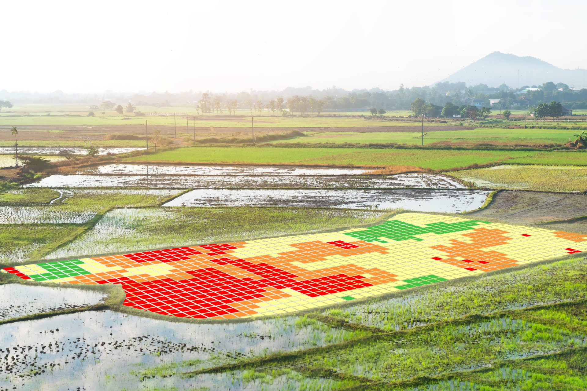
- Identification of stressed areas
- Valuable Insights into farm lands
- Suitable land identification
- Digitized Farm Land Maps for Land records
- Monitor Cultivation Land Details for Inventory
- Watershed Analysis for Irrigation Planning
- Improved Crop Management Framework

Deliverables
- Orthomosaic Maps
- Digital Surface Model (DSM)
- Digital Terrain Model (DTM)
- Digital Elevation Model (DEM)
- Contour Mapping and Elevation Profile
- 3D Point Cloud Models

The smart built-in cameras and active sensors in our drones capture flawless field data imagery for analysis by our GIS experts
