Introduction
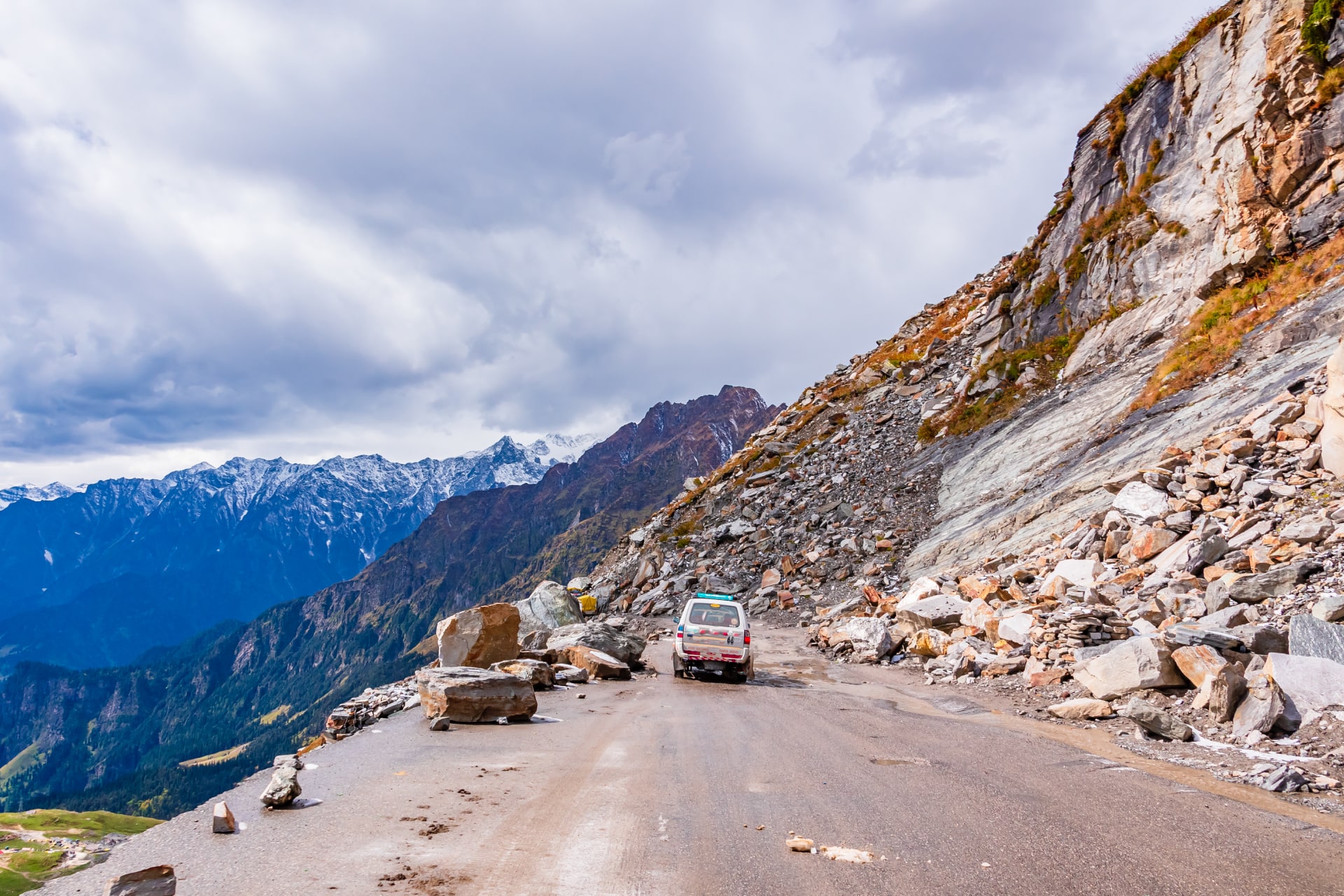
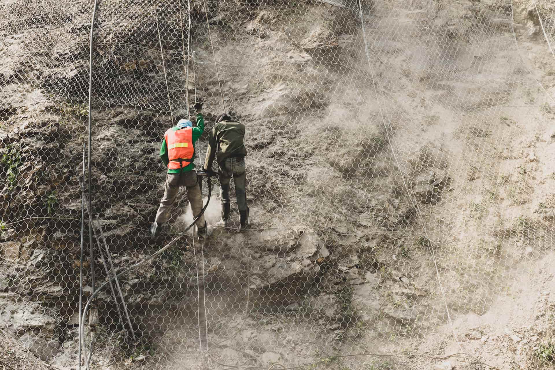
With the gridded Digital Surface Model (DSM) produced by drones, you can compute the change in slope in reference to the elevation and conduct simulations to predict the probable risks of landslides.

The Boosting Advantages
- Early Prediction of Landslides
- Near Real-time Provision of Data
- Easy Data Procurement even under difficult conditions

Deliverables
- DSM
- DEM
- Orthomosaic Maps

You get rapid On-site Risk Prediction and Hazard Analysis from kilometres away through a reliable Gridded Digital Surface Model (DSM) that ensures calculative planning
