Introduction
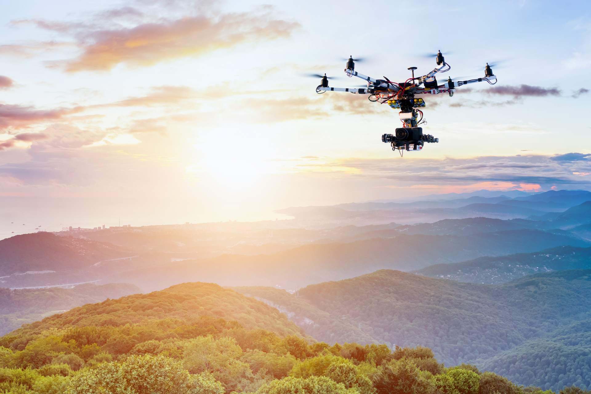
Drones skip the challenges of forest and vegetation mapping even in the dense isolated areas with enhanced processing capabilities using fast-paced software algorithms. The strategic digital maps produced by our solutions serve potential data on tree count, vegetation, tree health and condition parameters.

The Boosting Advantages
- Ingenious Inspection of Forest Cover
- Elimination of Human Involvement and Risks
- Detection of Encroachment
- Boundary Demarcation for Vegetation Planning
- Incursion Monitoring and Alerting System

Deliverables
- Digital surface model (DSM)
- Digital Elevation Model (DEM)
- Digital Terrain Model (DTM)
- Contour Mapping/ Elevation profile
- 3D Point clouds/ Models
- Deviation Analysis
- Dashboards on Asset Mapping
- Customized Reports

We perform Data Accumulation, Aerial Mapping and Scanning of forest vegetation through sharp and penetrative drones to prevent wildfires, illegal forest activities, and dangers
